Tabulae Geographicae
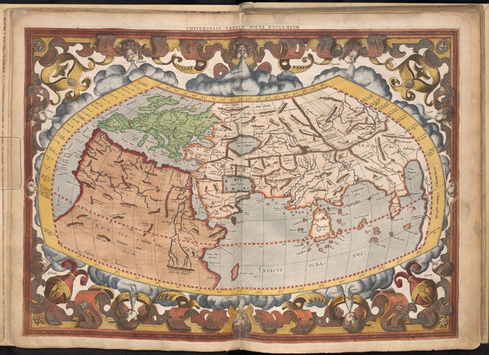
Claudius Ptolemaeus & Gerard Mercator. Tabulae Geographicae. Cologne: Gottfried von Kempen, 1578.
Hand-colored engravings.
Flemish cartographer Gerard Mercator (1512-1594) engraved the 27 maps in this atlas after the influential work of Greek geographer Ptolemy (ca. 84-165). Well versed in mathematics, Mercator innovated the rendering of map parallels and meridians as straight lines spaced to produce an accurate ratio of latitude to longitude at any point, and a result, his maps were much more useful as tools of navigation.